Why This Walk Matters
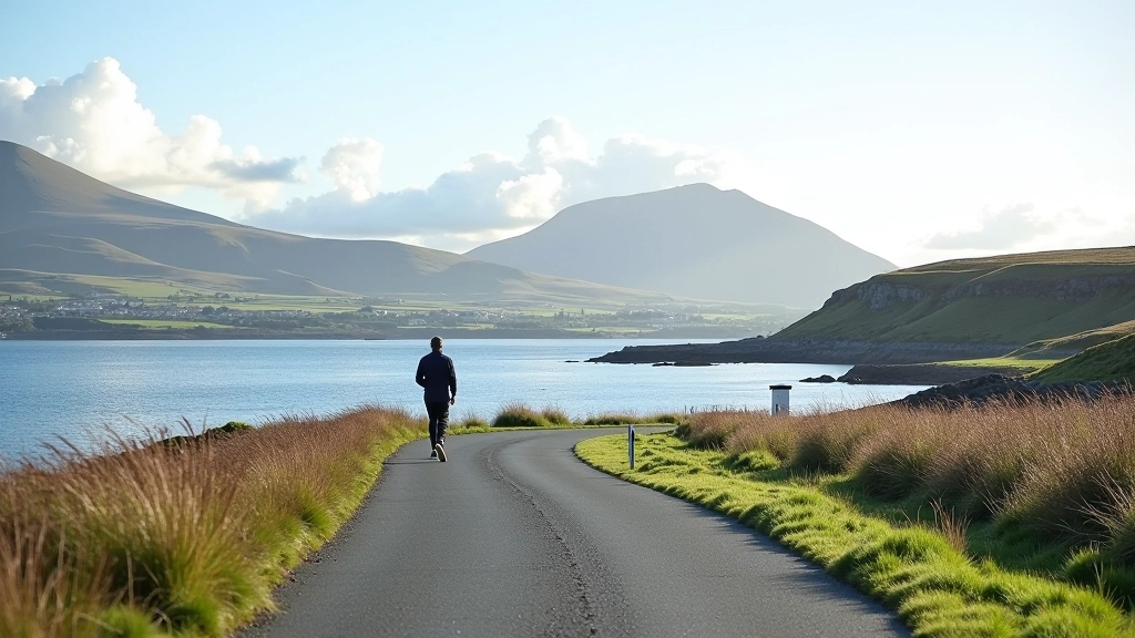
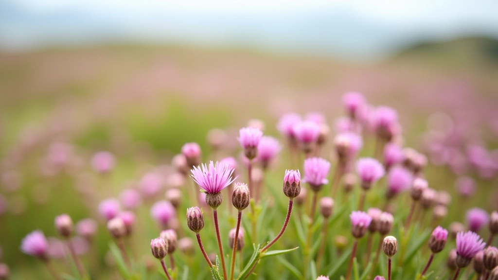
Not all walks need to be grueling to be memorable. This route proves it. Starting from the small car park near Louisburgh, you'll climb steadily but never steeply. The path winds through moorland dotted with wildflowers in summer, and within about 45 minutes you're standing at the viewpoint. That's when it hits you — the scale of Clew Bay stretching out below.
What makes it special? The bay's 365 islands — there's supposedly one for each day of the year, though locals will tell you the number shifts depending on tides and perspective. Some are just rocky outcrops. Others have their own histories. You'll see Croagh Patrick standing sentinel to the south, and on clear days the Twelve Bens range frames the eastern horizon.
The Route Breakdown
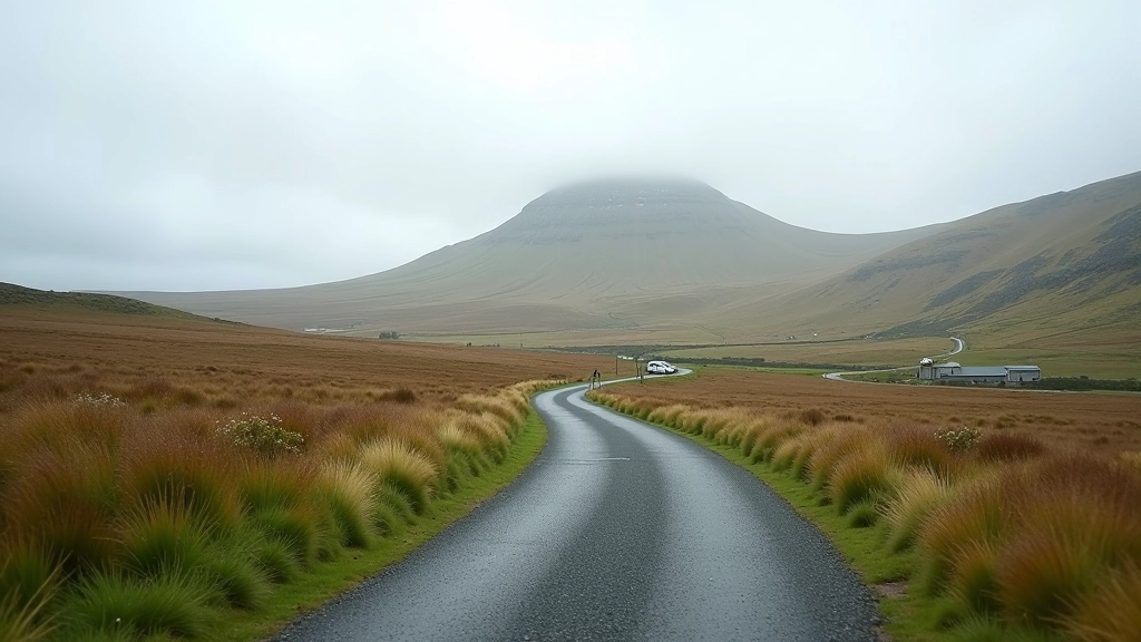
The walk splits into three distinct sections. First comes the car park area to the moorland transition — you'll pass through a small gate and the terrain opens up. The ground here is firm, mostly gravel and compressed earth. Takes about 15 minutes.
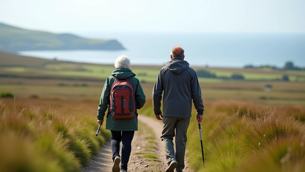
Next is the steady climb. It's not steep, but it's consistent. The path's well-trodden, which helps. You're gaining maybe 600 feet of elevation over about three-quarters of a mile. Your legs will feel it, but your breathing stays manageable. That's why retirees find this works so well — it's challenging enough to feel like genuine exercise, but not punishing.
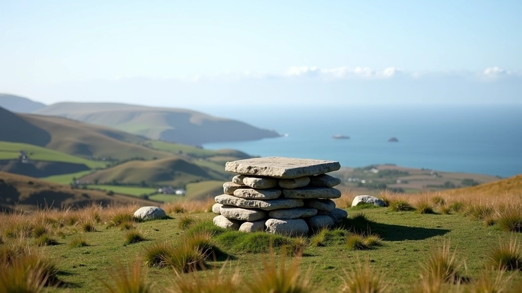
The final section flattens out as you approach the viewpoint. The last few minutes are almost level, which is merciful when you're tired. The viewpoint itself has a small stone shelter, though it's more wind-break than protection.
What You'll Actually See
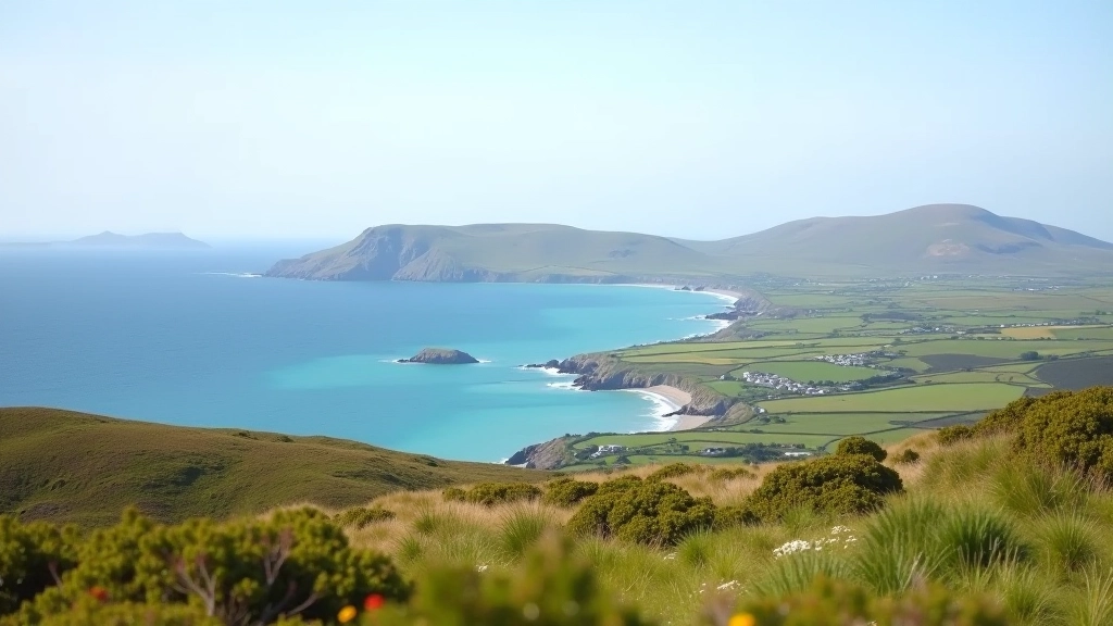
The view justifies the walk, full stop. From the viewpoint you're looking out across roughly 20 square miles of water dotted with islands. The nearest islands are maybe a mile offshore. On hazy days they blur together. But when the light's right — usually late morning or early afternoon — you can count individual islands and see the water channels between them.
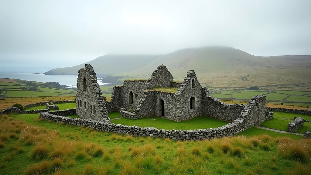
The islands themselves are uninhabited now, though some had farms a century ago. You'll see ruins on a few of them if you've got binoculars. The water changes color constantly. Green in the shallows near the islands, deep blue in the channels. Sometimes you'll spot boats — fishing boats mostly, plus the occasional yacht from Westport.
Practical Details That Matter
Distance & Time
2 miles round trip, roughly 90 minutes including a 20-minute rest at the viewpoint. Most people take it slower, which is fine — you're not racing.
Weather Considerations
Wind's consistent at the viewpoint — bring a windproof jacket even on calm days in the car park. Rain here passes through quickly, but the path gets muddy. Waterproof boots are worth it.
Access & Facilities
Small free car park with space for about 8-10 cars. No facilities at the car park itself. Nearest pub and toilet facilities are in Louisburgh, about 2 miles away.
Terrain & Safety
Firm moorland path, well-defined. No scrambling or technical sections. The only real hazard is wind at the viewpoint — stay back from any edges if it's gusting.
Why Retirees Choose This Walk
There's a reason this walk appears on every "walks for retirees" list in County Mayo. It hits a sweet spot. It's not a stroll — you'll feel your legs working and your heart pumping. But it's not punishing either. You're not scrambling over rocks or navigating technical terrain. The time commitment is realistic. You can do the whole thing and still have the afternoon free.
Plus, the payoff is genuine. You're not walking to walk. You're walking to see something genuinely stunning. That matters psychologically. It gives the effort meaning. People remember this walk. They come back to it.
Best Times to Visit
Spring (April-May) brings wildflowers and longer daylight. Summer's warmest but also busiest — you might see a dozen other walkers instead of two. Autumn (September-October) offers clearer air and fewer crowds. Winter's doable but the wind picks up and daylight's limited to about 6 hours.
Visibility matters hugely here. You want clear skies or at least broken cloud. Fog rolls in sometimes and you'll see nothing but gray. Check the forecast. A few hours' difference can mean the walk's either spectacular or disappointing.
Final Thoughts
This walk works because it's honest. You'll work for the view, but not excessively. You'll get a genuine sense of accomplishment without hobbling afterward. And the landscape — the islands, the water, the mountains — it stays with you. People who've done this walk years ago still talk about it. That's the mark of a good walk. Not just that it's beautiful in the moment, but that it becomes a memory you actually revisit.